
Studies & Feasibility
Understand your land before any decision. Topography, geotechnics, hydrology, planning, utilities, environment and economic viability.
Site reading
Understand the site before any decision
Technical constraints
Identify risks and limitations
Site potential
Reveal hidden opportunities
Informed decision
Data-driven recommendations
Our Services
Seven areas of expertise. One complete assessment.


Votre Situation
Quel est votre profil ?
Methodology
How we read a site.
Every VISION-H study follows a rigorous process, from the first site visit to final recommendations. We do not assume — we measure, analyse and document.
Brief
Understand your project, objectives and constraints
Site visit
Field reconnaissance and first observations
Data collection
Measurements, surveys, sampling, GIS data
Technical analysis
Laboratory and design-office data processing
Constraints & opportunities
Identify site risks and potential
Scenarios
Develop tailored development scenarios
Recommendations
Final report with recommendations and deliverables
Technical Analysis
What we look for before recommending.
A systematic multi-criteria analysis — each layer of information reveals a dimension of a site’s potential or constraints.
Multi-Layer Site Analysis
Integrated feasibility assessment
Feasibility score
High
Slope & Elevation
Gradient and relief analysis for buildability
Water & Drainage
Flood risks, water tables, natural drainage
Soil & Foundations
Bearing capacity, soil type, geotechnical risks
Access & Networks
Proximity to roads, water, electricity, telecoms
Opportunités
Découvrez Nos Six Sites
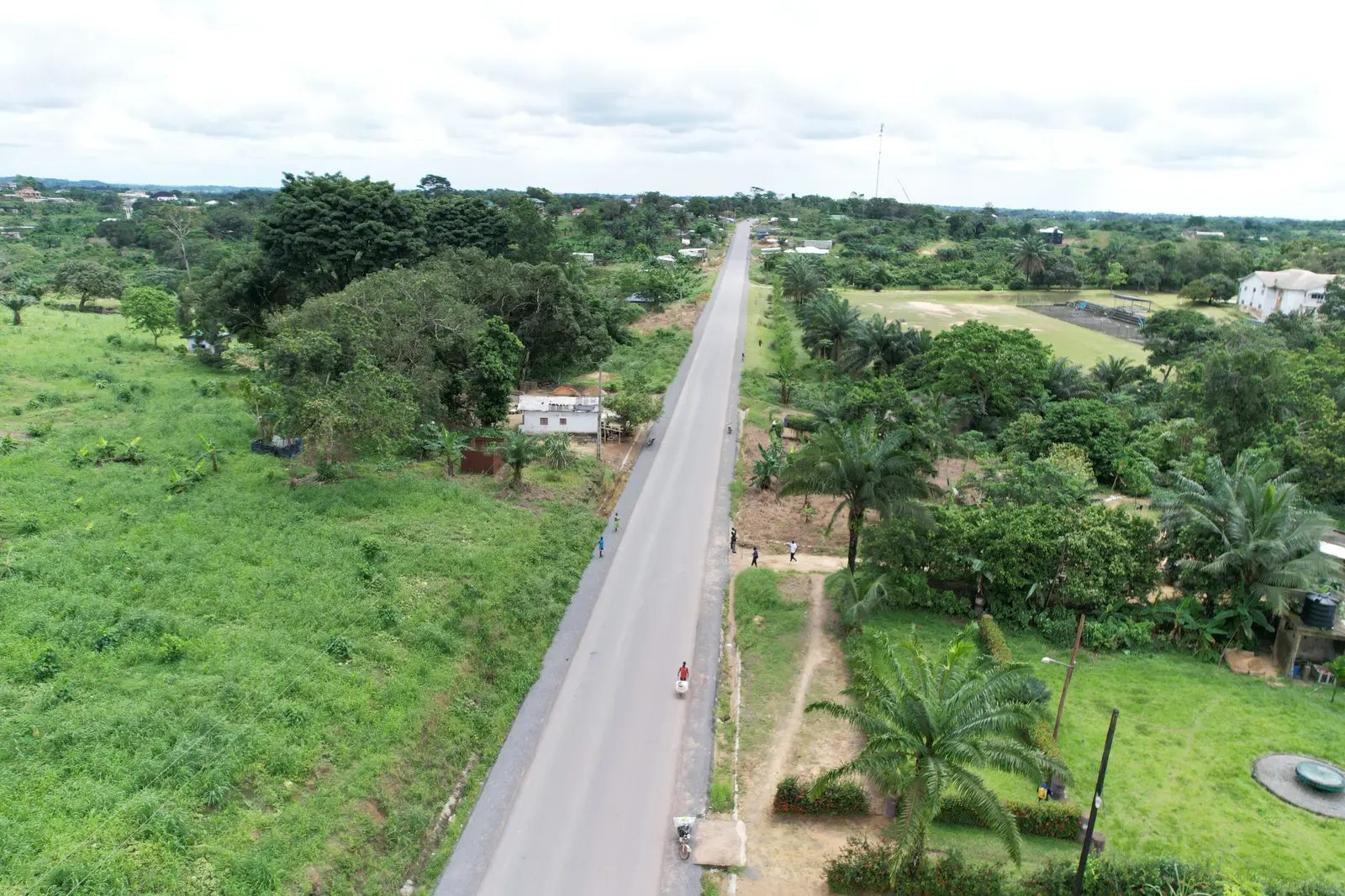
PK 26, Littoral · Parcelles disponibles
Terrain de PK 26
Parcelles destinées à la construction, en bordure de route, à proximité du séminaire catholique.
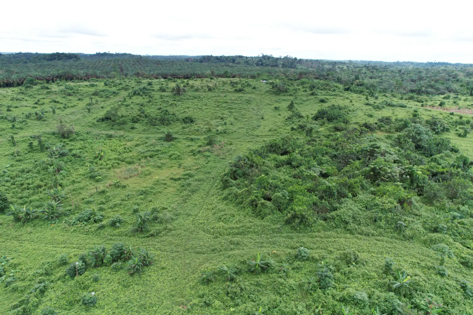
Massoumbou, secteur de PK 34, Littoral · Parcelles disponibles
Terrain de Massoumbou, PK 34
En face du terrain de la MAETUR, avec l’entrée du CES de Diwoum comme repère d’accès.
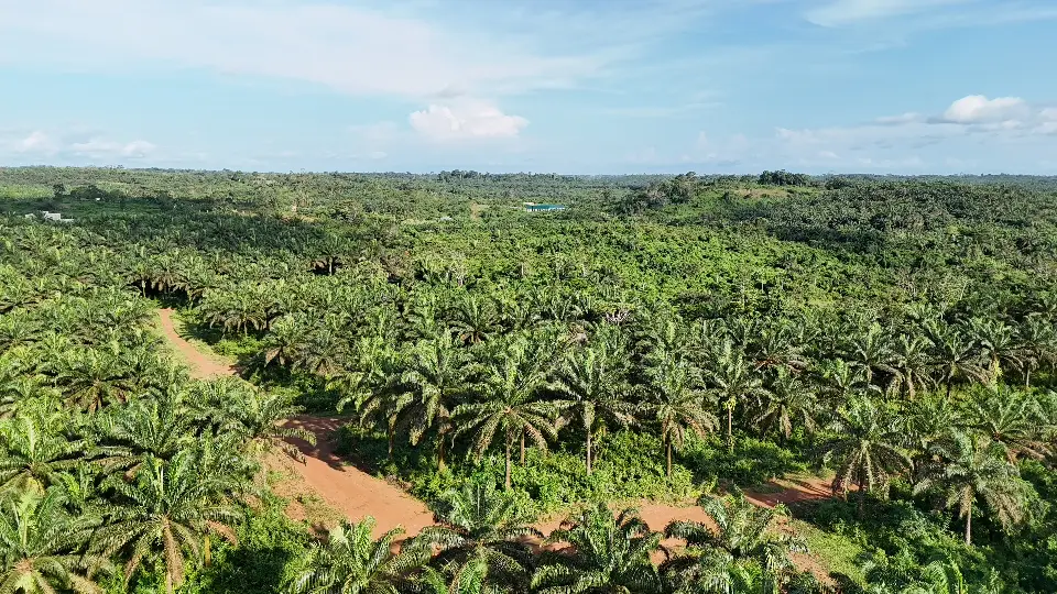
Mbongo, Littoral · Plus de 200 ha
Terrain de Mbongo
Un vaste domaine entre palmiers, végétation et pistes, à environ trois kilomètres du Carrefour Mbongo.
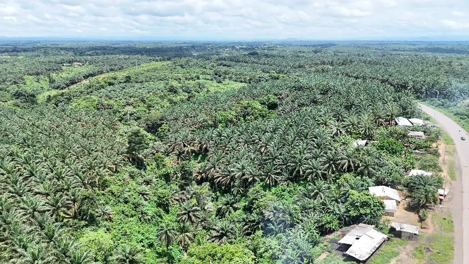
Nkake, axe Douala–Mbanga, Littoral · Parcelles disponibles
Terrain de Nkake, Site 1
En bordure de la route principale, après Coca-Cola, près de l’usine chinoise et de la station Green Oil.
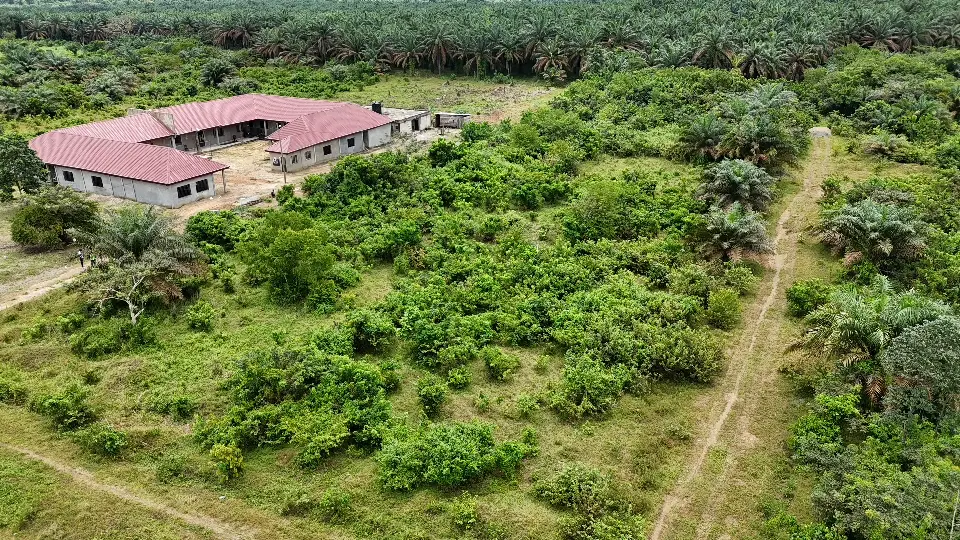
Nkake, axe Douala–Mbanga, Littoral · Parcelles disponibles
Terrain de Nkake, Site 2
En bordure de la route principale, entre végétation, pistes et habitations aux alentours.
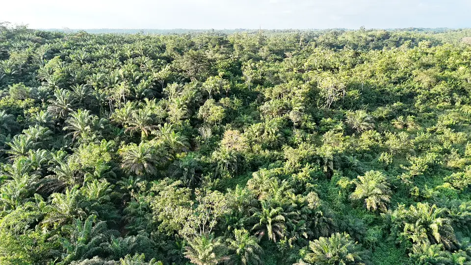
Missole, après Dibamba, Littoral · Parcelles disponibles
Terrain de Missole
Un site encore naturel et peu aménagé, entre palmiers, végétation et pistes.
FAQ
Questions fréquentes
Vous avez un projet ?